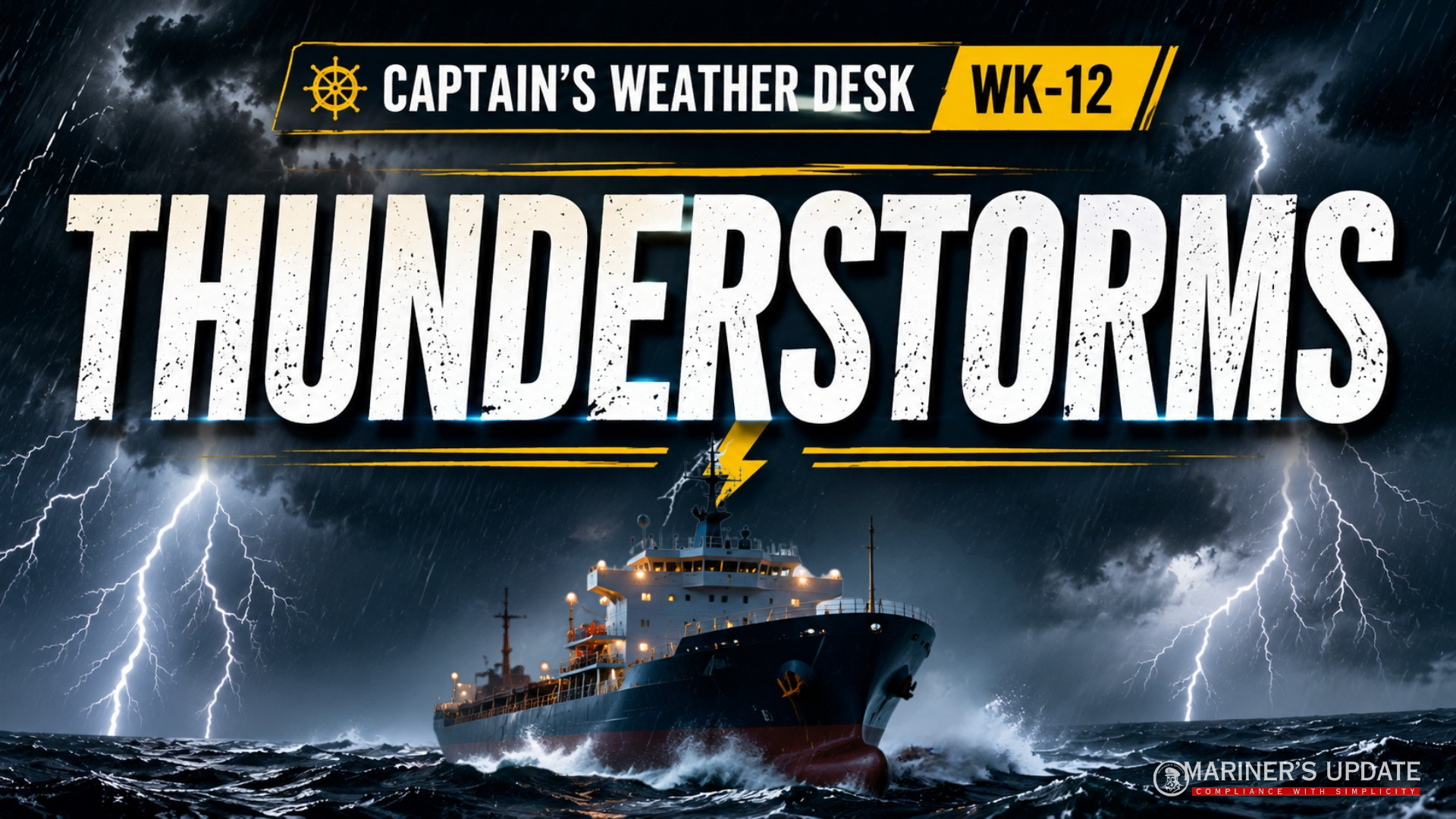
Thunderstorms are among the most powerful and rapidly changing weather phenomena encountered at sea. For mariners, the main concern is not only the lightning and thunder, but the sudden changes in wind, visibility, precipitation and atmospheric conditions that can accompany a storm.
A thunderstorm may develop rapidly and can create difficult conditions for navigation, manoeuvring, pilotage and harbour entry.
WHAT IS A THUNDERSTORM?
A thunderstorm is a convective weather system associated with cumulonimbus (CB) clouds, heavy precipitation, lightning and thunder.
For a vessel, the most significant hazards include:
- Very heavy rain causing a rapid reduction in visibility, sometimes almost to zero.
- Sudden squalls with strong and rapidly changing winds.
- Lightning, which can present a risk to the vessel and equipment.
- Radio interference or static, which may affect communications.
- Difficult conditions during harbour entry or departure, particularly when strong squalls and poor visibility occur.
Thunderstorms tend to be more intense when the atmosphere is warm and humid.
CONDITIONS FOR THUNDERSTORM FORMATION
Three basic conditions are important for thunderstorm development:
1. Cumulonimbus Cloud
A cumulonimbus cloud must be developing with a cloud base warmer than 0°C and producing precipitation.
2. Strong Atmospheric Instability
The lapse rate must be sufficiently steep to support vigorous convection, extending to a considerable height above the cloud base.
3. Abundant Low-Level Moisture
A good supply of water vapour near the surface is required. Condensation releases latent heat, which provides additional energy for strong upward motion.
OTHER FAVOURABLE FACTORS
Thunderstorm development becomes more likely when these conditions are present:
- High surface temperature
- Light surface winds
- Convergence of surface air
- Uplift of moist air over mountains
- Frontal uplift, particularly along a cold front
- Strong daytime heating over land
- Advection of warm air
- A combination of several of these factors
The important point for a mariner is that warm, moist and unstable air provides the fuel, while a trigger starts the convection.
HAZARDS TO MARINERS
Thunderstorms can produce several hazards within a short period:
Heavy Rain → Reduced Visibility
Rainfall can become intense enough to make visual navigation and pilotage extremely difficult.
Sudden Squalls → Rapid Wind Changes
The wind may strengthen suddenly and change direction as the storm passes.
Lightning → Risk to Vessel and Equipment
Lightning involves extremely powerful electrical discharges. Although a steel ship is generally well earthed through its structure and the surrounding seawater, lightning remains a hazard that should be taken seriously.
Atmospherics → Communication Problems
Electrical activity associated with thunderstorms can produce radio interference or static.
Harbour Operations → Increased Risk
A thunderstorm close to a port can make berthing, unberthing, pilotage and manoeuvring considerably more challenging.
LIGHTNING & THUNDER
Lightning is a massive electrical discharge that can occur:
- Within the same cloud
- Between separate clouds
- Between a cloud and the earth
Thunder is the sound produced by the rapid expansion and contraction of air along the lightning channel.
ESTIMATING THE DISTANCE
Because light reaches the observer almost instantly, the time between seeing the lightning flash and hearing thunder can be used as a simple estimate of the storm’s distance.
Approximate distance:
Miles ≈ seconds ÷ 5
Kilometres ≈ seconds ÷ 3
For example, if thunder is heard 15 seconds after the flash:
≈ 3 miles / ≈ 5 km
This is only an approximate indication, but it can help the bridge team assess whether a thunderstorm is approaching or moving away.
TYPES OF THUNDERSTORMS
1. HEAT THUNDERSTORMS
These develop mainly over land in warm, humid conditions when strong surface heating produces convection.
They are commonly observed during late afternoons or evenings on warm days with light winds.
They are also common over mountainous islands in tropical regions.
2. COASTAL THUNDERSTORMS
These can occur during any season and at different times of the day.
They are associated with moist maritime air being forced to rise as it moves from sea towards land.
They are generally less severe and may weaken rapidly after moving inland.
3. FRONTAL THUNDERSTORMS
These are associated with weather fronts, particularly active cold fronts.
They are more common in temperate regions during winter when frontal depressions are more frequent.
A strong temperature difference between warm and cold air masses, combined with strong frontal convergence, can produce severe thunderstorms.
WHAT HAPPENS WHEN A THUNDERSTORM PASSES?
The passage of a thunderstorm can be accompanied by:
- A sudden drop in temperature
- Very heavy, localised precipitation
- A strong squall
- Rapid changes in wind speed and direction
- A sudden change in atmospheric pressure
Cold air from higher levels can be brought down towards the surface by falling precipitation. This can produce a sudden change in the conditions experienced by the vessel.
For the bridge team, this means that the weather may change dramatically within minutes rather than hours.
A thunderstorm should never be treated simply as rain and lightning.
For the mariner, it is a rapidly changing weather event involving wind, visibility, precipitation, pressure and electrical activity.
Good preparation means:
✓ Monitor weather forecasts and warnings.
✓ Keep a close watch on developing CB clouds.
✓ Be alert for sudden wind and visibility changes.
✓ Consider the impact on navigation, pilotage and harbour operations.
✓ Take early action rather than waiting for conditions to deteriorate.