
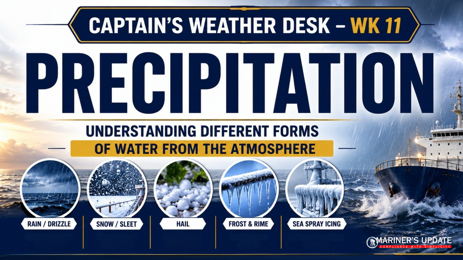
PRECIPITATION – Understanding Different Forms of Water from the Atmosphere
Precipitation is one of the most important weather phenomena affecting maritime operations. It influences visibility, navigation, cargo handling, deck safety, and vessel stability, particularly in cold weather. Understanding how different forms of precipitation develop enables mariners to interpret weather conditions more effectively and make safer operational decisions.
WHAT IS PRECIPITATION?
Precipitation refers to any form of water that falls or is deposited from atmospheric moisture as a result of condensation or freezing.
The main forms of precipitation include:
- Rain
- Drizzle
- Snow
- Sleet
- Hail
- Dew
- Hoar Frost
- Rime
- Glazed Frost
Although cloud, fog, and mist are classified as hydrometeors, they are not considered precipitation because they remain suspended in the atmosphere rather than falling to the Earth’s surface.
RAIN vs DRIZZLE
Rain and drizzle are both liquid forms of precipitation, but they differ primarily in droplet size and the clouds from which they originate.
Rain
Rain consists of relatively large water droplets formed in deep clouds with significant vertical development. The droplets become heavy enough to overcome upward air currents and fall to the surface.
Drizzle
Drizzle is composed of very fine water droplets, typically between 0.2 mm and 0.5 mm in diameter. It usually falls from low stratus clouds and may evaporate before reaching the surface if the air beneath the cloud is dry.
HOW DOES RAIN FORM?
Rain begins as tiny cloud droplets or ice crystals suspended within clouds.
As moist air rises, it cools and condensation continues. Water droplets grow larger through repeated collisions and by combining with neighbouring droplets or ice crystals. Once they become too heavy for the cloud’s updrafts to support, gravity causes them to fall as rain.
In some cases, precipitation evaporates before reaching the surface, producing visible streaks beneath the cloud known as virga or fallstreaks.
THREE MAIN TYPES OF RAIN
Convectional Rain
Convectional rain develops when the Earth’s surface is strongly heated, causing warm, moist air to rise rapidly.
Characteristics
- Common in tropical and equatorial regions.
- Usually intense but short-lived.
- Frequently accompanied by thunderstorms and occasional hail.
Orographic Rain
Orographic rain occurs when moist air is forced to rise over hills or mountain ranges.
As the air rises, it cools and condenses, producing rainfall on the windward side of the terrain. The descending air on the leeward side becomes warmer and drier, creating a rain shadow.
Frontal Rain
Frontal rain forms where warm and cold air masses meet.
The warmer air is forced to rise over the colder air, resulting in widespread cloud formation and prolonged rainfall. This is commonly associated with frontal weather systems.
SNOW & SLEET
Snow
Snow forms when water vapour changes directly into ice crystals within cold clouds.
For snow to reach the ground without melting, the near-surface air temperature generally needs to remain below 3.5°C.
Sleet
Sleet is a mixture of rain and snow that occurs when falling snow partially melts while passing through a warmer layer of air before reaching the surface.
HAIL
Hail develops inside Cumulonimbus (Cb) clouds where strong updrafts repeatedly carry ice particles upward.
Each upward journey adds another layer of ice, allowing hailstones to grow before eventually falling when they become too heavy to remain suspended.
Hail is commonly associated with:
- Thunderstorms
- Heavy convective showers
- Strong atmospheric instability
GLAZED FROST
Glazed frost forms when rain or drizzle freezes immediately upon contact with surfaces that are below freezing.
It produces a smooth, transparent layer of ice that can create extremely slippery conditions on exposed structures.
SEA SPRAY ICING (Important for Mariners)
Sea spray icing is one of the most hazardous icing conditions encountered at sea.
When air temperatures fall below −2°C, sea spray striking the vessel freezes rapidly. The risk generally becomes significant from Beaufort Force 5 onwards as stronger winds produce greater amounts of spray.
Rapid ice accumulation increases topside weight, reduces freeboard, affects lifesaving equipment, and may significantly reduce vessel stability.
DEW
Dew forms when exposed surfaces cool during clear, calm nights until their temperature falls below the dew point.
Water vapour then condenses into small droplets on surfaces such as decks, railings, and vegetation.
HOAR FROST
Hoar frost forms when surfaces cool below both the dew point and 0°C.
Instead of liquid water forming first, water vapour deposits directly as delicate white ice crystals.
RIME
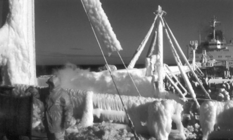
Rime forms when supercooled fog droplets strike cold surfaces and freeze immediately.
It produces rough white ice deposits commonly found on ship’s masts, antennas, rigging, and superstructures, potentially affecting equipment performance and increasing topside weight.
TAKEAWAY
- Precipitation includes several forms of atmospheric water, each forming under different weather conditions.
- Rain develops from growing cloud droplets, while drizzle consists of much smaller droplets.
- Convectional, orographic, and frontal rainfall are the three principal rainfall mechanisms.
- Snow, sleet, and hail develop under specific temperature conditions within clouds.
- Sea spray icing is one of the most significant icing hazards for ships operating in freezing conditions.
- A sound understanding of precipitation helps mariners improve voyage planning, weather interpretation, and onboard safety.